"Oriental Smart Eye Cup" Remote Sensing Image Intelligent Processing Algorithm Competition was supported by the Department of Information Sciences of the National Natural Science Foundation of China and the International Society for Photogrammetry and Remote Sensing. It was sponsored by the Steering Expert Group of the Major Research Plan on "Fundamental Theories and Key Technologies of Space Information Networks" and titled by StarAI Spatio-temporal Intelligence Technology Co., Ltd. The competition received sponsorship from Huawei Technologies Co.Ltd.,Oriental Space Port Research Institute, and Oriental Maritime Space Port(Shandong) Development Group Co., Ltd., and was organized by the State Key Laboratory of Information Engineering in Surveying, Mapping and Remote Sensing (LIESMARS) at Wuhan University, Oriental Space Port Research Institute, Oriental Maritime Space Port(Shandong) Development Group Co., Ltd., and the Collaborative Innovation Center of Geospatial Technology.The competition aims to "promote innovation through competition," driving the innovative development of artificial intelligence technology in the field of remote sensing image processing and application, and providing support for significantly enhancing the capabilities of space information processing and application.

International Track 1: Forest Single-Tree Canopy Segmentation
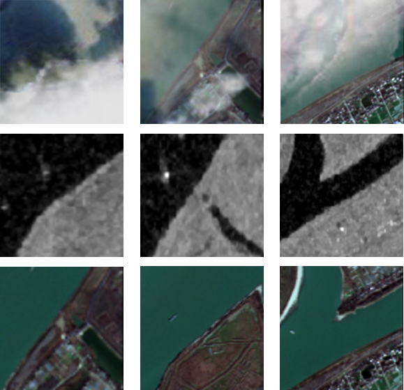
As a vital biological component of forests, the canopy plays a pivotal role in shaping forest ecosystems and regulating ecosystem functions. Accurate extraction of individual tree crown structural characteristics and spatial distribution information forms the foundation for achieving refined monitoring, analysis, and management of forest canopies, providing automated solutions for interpreting large-scale canopy structural information. Currently, tree segmentation techniques based on high-resolution optical imagery remain in their developmental stage, with method accuracy and robustness yet to meet the demands of large-scale application. Therefore, the competition establishes a dedicated track for forest tree canopy segmentation, aiming to advance research on tree canopy segmentation algorithms. This initiative seeks to optimize the precise extraction of structural characteristics and spatial distribution information of individual tree canopies, thereby supporting the realization of refined monitoring, analysis, and management of forest canopy systems.